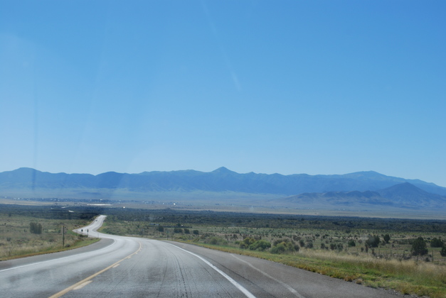
The Valley Of Fires as seen approaching from US 380 going West. You can easily see the black lava covering the bottom of the canyon it is supposed to be 160 ft deep.
We have seen a few places that had been volcanic (mostly in New Mexico) and thought I might document them.
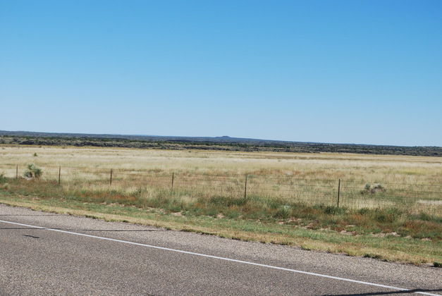
In 2013 we went through the Valley Of Fires in New Mexico, US 380 Directly west of Carrizozo. Unfortunately Ted Cruze and the Tea Party had shut down the government that fall and we didn't get into the park proper. These pics were take from the road that passes directly through the lava flow.
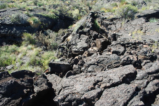
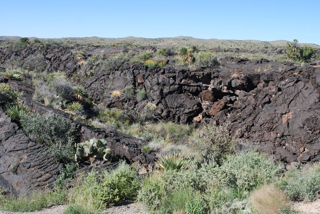
Little Black Peak erupted between 1500 and 5000 years ago, the most recent volcanic eruption in the US. This is a lava field called malpais (badlands in Spanish). The lava flowed out and down the valley covering it 160 feet deep and stretches about 45 miles. The black lava oozed slowly from Black Peak and had a particular "rippled" look about it also called "ropy". The park slso contains lava tubes, lava caves, pressure ridges, and collapsed gas bubbles. Here is a good explanation from the New Mexico Bureau of Geology and Mineral Resources on the formation of Valley of Fires.
|
Valley of Fires from google maps. Little Black Peak is at the top end of the valley according to google maps. |
|
|
The Valley Of Fires as seen approaching from US 380 going West. You can easily see the black lava covering the bottom of the canyon it is supposed to be 160 ft deep. |
|
This is Little Black Peak the source of this lava flow, as seen from US 380. |
|
Black lava. |
|
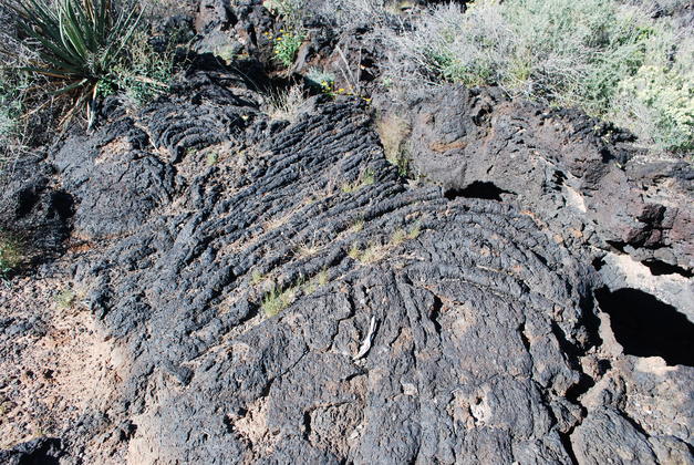
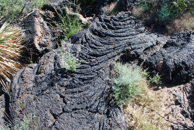
At the lower center you can see the ripples that formed in the lava. The Valley of Fires nature walk shows a much better view of these ripples but, as I said, Ted Cruze felt it was more important to waste 25 Billion dollars shutting down the government. |
|
I have seen similar "rippled lava" in pics of Kilauea in Hawaii. It is a currently active, slow flowing volcano. |
|
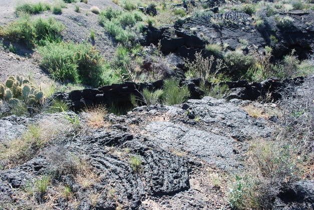
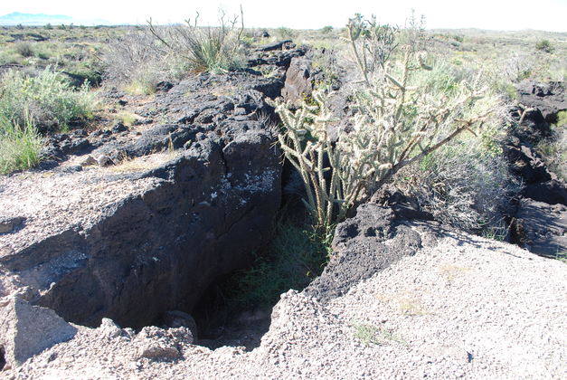
Cholla cactus growing out of the lava in Valley of Fires. |
|
This lava oozed out of the volcano's caldera creating a lot of strange effects. |
|
|
|
|
|
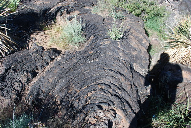
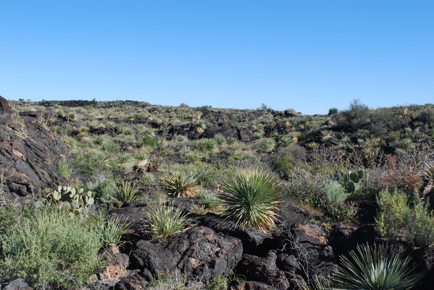
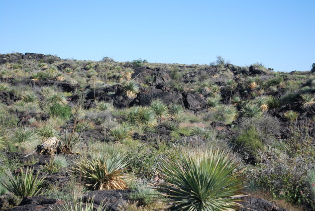
Rough top of lava flow. Note all the yucca and sage growning. |
|
|

|
|